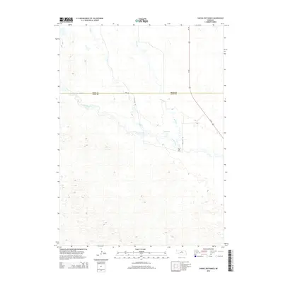
2014 Map of Shovel Dot Ranch
USGS Topo · Published 2014About this map
The Shovel Dot Ranch stands as a primary landmark in this section of the Nebraska Sandhills, situated near the winding course of the Calamus River. The landscape is defined by its intricate drainage patterns, with Skull Cr and Bloody Cr feeding into the river system. A notable hydrological feature, Fox Bayou, is situated north of the river, suggesting the complex wetland and prairie ecosystem of the region. Transportation in this area is anchored by Us-183, which runs north-south across the high plains, intersected by local routes like 846th Rd and Shovel Dot Rd. This map documents the boundary between Rock and Loup Counties, illustrating how ranching operations and natural waterways dictate the human footprint in this sparsely populated cattle country.
Find a feature on this map
9 named features on this map. Tap any name to fly to it.
Don’t see what you’re looking for? This feature index may not catch every label — zoom into the map to look around manually.
Map Details
Editions of this 2014 Shovel Dot Ranch Map
This is the sole edition of this map. No revisions or reprints were ever made.
Other maps of this area

1952 · Taylor NW
USGS Topo · 1:24,000

1952 · Almeria NE
USGS Topo · 1:24,000

1952 · Almeria NW
USGS Topo · 1:24,000

1955 · Broken Bow
USGS Topo · 1:250,000

1955 · O'Neill
USGS Topo · 1:250,000

1956 · Broken Bow
USGS Topo · 1:250,000

1959 · O'Neill
USGS Topo · 1:250,000

1969 · O'Neill
USGS Topo · 1:250,000

1981 · Boiling Spring
USGS Topo · 1:24,000

1981 · Stonehouse Ranch NW
USGS Topo · 1:24,000