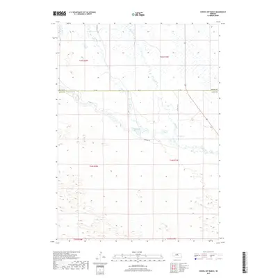
2017 Map of Shovel Dot Ranch
USGS Topo · Published 2017About this map
The Calamus River meanders through this section of the Nebraska Sandhills, defining a landscape shaped by water and ranching tradition. This 2017 topographic survey highlights the intricate drainage patterns of the region, where Fox Bayou and Skull Cr feed into the river's main channel. The terrain is marked by the distinctive dune formations of Loup County and Rock County, providing a clear view of the natural hydrology that sustains the local cattle industry. Roadways such as Shovel Dot Rd and Freedom Ave trace the section lines of the Public Land Survey System, which remains the primary framework for land ownership in this portion of the Great Plains. Small waterways like Bloody Cr further illustrate the network of creeks that characterize the valley floor.
Find a feature on this map
14 named features on this map. Tap any name to fly to it.
Don’t see what you’re looking for? This feature index may not catch every label — zoom into the map to look around manually.
Map Details
Editions of this 2017 Shovel Dot Ranch Map
This is the sole edition of this map. No revisions or reprints were ever made.
Other maps of this area

1952 · Taylor NW
USGS Topo · 1:24,000

1952 · Almeria NE
USGS Topo · 1:24,000

1952 · Almeria NW
USGS Topo · 1:24,000

1955 · Broken Bow
USGS Topo · 1:250,000

1955 · O'Neill
USGS Topo · 1:250,000

1956 · Broken Bow
USGS Topo · 1:250,000

1959 · O'Neill
USGS Topo · 1:250,000

1969 · O'Neill
USGS Topo · 1:250,000

1981 · Boiling Spring
USGS Topo · 1:24,000

1981 · Stonehouse Ranch NW
USGS Topo · 1:24,000