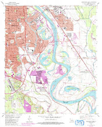
1980 Map of Shreveport East
USGS Topo · Published 1992About this map
Red River meanders through the heart of this landscape, defining the boundary between Shreveport and Bossier City during a period of significant suburban expansion. The 1980s updates, shown in purple, reveal the growing footprint of residential developments and institutions like Louisiana State Univ-Shreveport and Byrd High Sch. The map illustrates the complex hydrological history of the area, where former river channels have left behind features like Shreves Island Cutoff and Wright Island.
Find a feature on this map
73 named features on this map. Tap any name to fly to it.
Don’t see what you’re looking for? This feature index may not catch every label — zoom into the map to look around manually.
Map Details
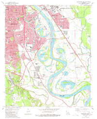
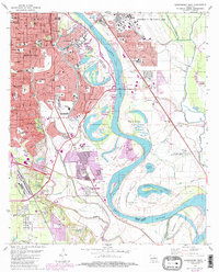
Editions of this 1980 Shreveport East Map
3 editions found
Other maps of this area

1932 · Bossier SE
USGS Topo · 1:31,680

1932 · Bossier SW
USGS Topo · 1:31,680

1932 · Shreveport SE
USGS Topo · 1:31,680

1938 · Arnsberg
USGS Topo · 1:31,680

1941 · Forbing
USGS Topo · 1:31,680

1945 · Greenwood
USGS Topo · 1:62,500

1948 · Mooringsport
USGS Topo · 1:62,500

1948 · Bossier City
USGS Topo · 1:62,500

1948 · Caspiana
USGS Topo · 1:62,500

1955 · Shreveport
USGS Topo · 1:250,000