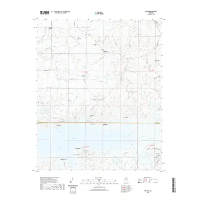
2021 Map of Shuford
USGS Topo · Published 2021About this map
Enid Lake dominates the southern landscape of this territory, where the boundary between Panola County and Yalobusha County follows the water's edge. The area is characterized by a network of small rural settlements including Shuford, Lakeside, and Eureka Springs. For genealogists, the map is particularly detailed, recording numerous burial grounds such as Pisgah Cem, Long Creek Cem, and the remote Old Bynum Cem. The drainage pattern is defined by several waterways feeding into the lake, most notably Rowsey Creek and the Yocona River. Topographical landmarks like Chickasaw Hill and Spyglass Hill provide vantage points over the surrounding creek valleys, including Caney Cr and Long Cr. This modern survey offers a precise record of the road network and land divisions that have shaped these Mississippi communities.
Find a feature on this map
84 named features on this map. Tap any name to fly to it.
Don’t see what you’re looking for? This feature index may not catch every label — zoom into the map to look around manually.
Map Details
Editions of this 2021 Shuford Map
This is the sole edition of this map. No revisions or reprints were ever made.
Other maps of this area

1940 · Oxford
USGS Topo · 1:62,500

1943 · Oxford
USGS Topo · 1:62,500

1952 · Sardis
USGS Topo · 1:62,500

1953 · Sardis
USGS Topo · 1:62,500

1954 · Oakland
USGS Topo · 1:62,500

1954 · Water Valley
USGS Topo · 1:62,500

1954 · Water Valley West
USGS Topo · 1:24,000

1955 · Water Valley
USGS Topo · 1:62,500

1956 · Tupelo
USGS Topo · 1:250,000

1958 · Tupelo
USGS Topo · 1:250,000