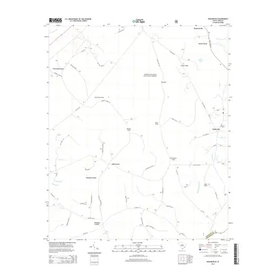
2014 Map of Shulerville
USGS Topo · Published 2014About this map
The Francis Marion National Forest dominates this Lowcountry landscape, where dense swamp forests and wetlands are punctuated by slightly elevated terrain known as islands. Features such as Peterstand Island, Horse Island, and Yellowjacket Island rise out of the saturated surroundings, including the notable Little Hellhole Bay and Bark Island Slough. The settlement pattern is defined by rural crossroads, most notably the community of Shulerville and several family-named junctions like Farewell Corner, Oak Corner, and Windom Corner. These points of habitation are connected by a network of forest roads and historical tracks such as Hell Hole Road A and French Santee Rd. The proximity of the Berkeley and Charleston county line in the south highlights the map's position within a region shaped by timber management and coastal river systems like Echaw Cr.
Find a feature on this map
64 named features on this map. Tap any name to fly to it.
Don’t see what you’re looking for? This feature index may not catch every label — zoom into the map to look around manually.
Map Details
Editions of this 2014 Shulerville Map
This is the sole edition of this map. No revisions or reprints were ever made.
Other maps of this area

1919 · Cordesville
USGS Topo · 1:48,000

1942 · Cedar Creek
USGS Topo · 1:24,000

1942 · Honey Hill
USGS Topo · 1:24,000

1943 · Shulerville
USGS Topo · 1:24,000

1943 · Jamestown
USGS Topo · 1:24,000

1943 · Awendaw
USGS Topo · 1:24,000

1943 · Ocean Bay
USGS Topo · 1:24,000

1943 · Bonneau
USGS Topo · 1:62,500

1948 · Bethera
USGS Topo · 1:24,000

1949 · Georgetown
USGS Topo · 1:250,000