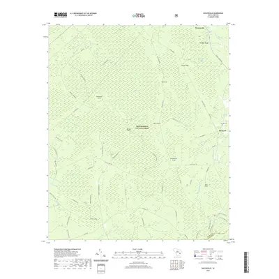
2020 Map of Shulerville
USGS Topo · Published 2020About this map
The Francis Marion National Forest dominates this section of the South Carolina Lowcountry, where the landscape is defined by a complex network of wetlands and "islands" of slightly higher ground. Settlements such as Shulerville and Simmonsville sit at the edges of this vast ecological system, which includes the extensive Hellhole Bay and Little Hellhole Bay. The name "island" here, as seen in Peterstand Island and Horse Island, refers to dry hummocks rising from the surrounding swamps and bays, rather than land surrounded by open water.
Find a feature on this map
65 named features on this map. Tap any name to fly to it.
Don’t see what you’re looking for? This feature index may not catch every label — zoom into the map to look around manually.
Map Details
Editions of this 2020 Shulerville Map
This is the sole edition of this map. No revisions or reprints were ever made.
Other maps of this area

1919 · Cordesville
USGS Topo · 1:48,000

1942 · Cedar Creek
USGS Topo · 1:24,000

1942 · Honey Hill
USGS Topo · 1:24,000

1943 · Shulerville
USGS Topo · 1:24,000

1943 · Jamestown
USGS Topo · 1:24,000

1943 · Awendaw
USGS Topo · 1:24,000

1943 · Ocean Bay
USGS Topo · 1:24,000

1943 · Bonneau
USGS Topo · 1:62,500

1948 · Bethera
USGS Topo · 1:24,000

1949 · Georgetown
USGS Topo · 1:250,000