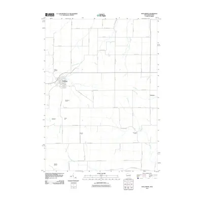
2010 Map of Shullsburg
USGS Topo · Published 2010About this map
Shullsburg serves as the primary hub of this landscape, situated at the confluence of several local roads including County Hwy-O and Stump Grove Rd. The area’s industrial heritage is evidenced by the Calumet and Hecla Mine located west of White Hill, reflecting the region's historical importance in lead and zinc extraction. Outside the main settlement, the community of Dunbarton sits near the eastern edge of the survey, connected by Dunbarton Rd.
Find a feature on this map
49 named features on this map. Tap any name to fly to it.
Don’t see what you’re looking for? This feature index may not catch every label — zoom into the map to look around manually.
Map Details
Editions of this 2010 Shullsburg Map
This is the sole edition of this map. No revisions or reprints were ever made.
Other maps of this area

1902 · Mineral Point
USGS Topo · 1:125,000

1911 · Elizabeth
USGS Topo · 1:62,500

1911 · Galena
USGS Topo · 1:62,500

1913 · Galena
USGS Topo · 1:62,500

1936 · Elizabeth
USGS Topo · 1:62,500

1952 · Shullsburg
USGS Topo · 1:24,000

1952 · Calamine
USGS Topo · 1:24,000

1952 · Belmont
USGS Topo · 1:24,000

1952 · New Diggings
USGS Topo · 1:24,000

1959 · Dubuque
USGS Topo · 1:250,000