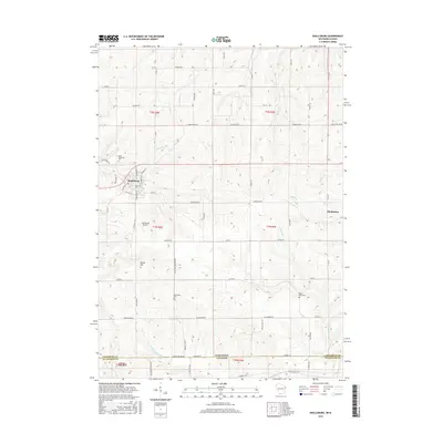
2016 Map of Shullsburg
USGS Topo · Published 2016About this map
Shullsburg anchors the landscape of southern Lafayette County, where the Upper Mississippi River Valley topography transitions into the rolling hills of the Driftless Area. This 2016 survey highlights a region defined by its rural heritage and early settlement patterns, centered around the historic street grid of the city, including Main St and N Judgement St. The map captures the area's spiritual and genealogical history through sites like Saint Matthews Cem and Monticello Cem, while the southern border traces the state line between Wisconsin and Illinois. Hydrological features such as the Apple River and its W Fork Apple River wind through the township, providing a drainage system that has historically shaped local agriculture. Further east, the small settlement of Dunbarton remains a focal point near Wolf Cr, while White Hill and Charles Mound mark the high points of the local terrain.
Find a feature on this map
68 named features on this map. Tap any name to fly to it.
Don’t see what you’re looking for? This feature index may not catch every label — zoom into the map to look around manually.
Map Details
Editions of this 2016 Shullsburg Map
This is the sole edition of this map. No revisions or reprints were ever made.
Other maps of this area

1902 · Mineral Point
USGS Topo · 1:125,000

1911 · Elizabeth
USGS Topo · 1:62,500

1911 · Galena
USGS Topo · 1:62,500

1913 · Galena
USGS Topo · 1:62,500

1936 · Elizabeth
USGS Topo · 1:62,500

1952 · Shullsburg
USGS Topo · 1:24,000

1952 · Calamine
USGS Topo · 1:24,000

1952 · Belmont
USGS Topo · 1:24,000

1952 · New Diggings
USGS Topo · 1:24,000

1959 · Dubuque
USGS Topo · 1:250,000