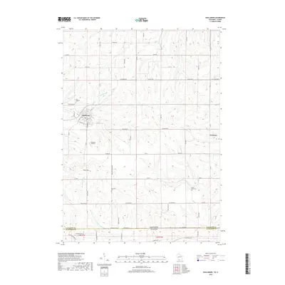
2018 Map of Shullsburg
USGS Topo · Published 2018About this map
Shullsburg stands as the primary hub in this southwestern Wisconsin landscape, where the street grid includes local thoroughfares like W Main St and S Judgement St. The surrounding countryside in Lafayette Co and across the border in Jo Daviess Co, Illinois, is defined by a network of rural routes such as Dunbarton Rd and Salty Hollow Rd. The terrain is punctuated by significant elevations like White Hill and Charles Mound, the latter sitting near the state line.
Find a feature on this map
66 named features on this map. Tap any name to fly to it.
Don’t see what you’re looking for? This feature index may not catch every label — zoom into the map to look around manually.
Map Details
Editions of this 2018 Shullsburg Map
This is the sole edition of this map. No revisions or reprints were ever made.
Other maps of this area

1902 · Mineral Point
USGS Topo · 1:125,000

1911 · Elizabeth
USGS Topo · 1:62,500

1911 · Galena
USGS Topo · 1:62,500

1913 · Galena
USGS Topo · 1:62,500

1936 · Elizabeth
USGS Topo · 1:62,500

1952 · Shullsburg
USGS Topo · 1:24,000

1952 · Calamine
USGS Topo · 1:24,000

1952 · Belmont
USGS Topo · 1:24,000

1952 · New Diggings
USGS Topo · 1:24,000

1959 · Dubuque
USGS Topo · 1:250,000