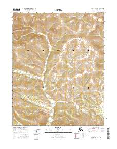
2016 Map of Shungnak A-2 NE
USGS Topo · Published 2016About this map
U.S. Department of the Interior surveying in this remote portion of Northwest Alaska reveals a vast, undeveloped landscape defined primarily by its Public Land Survey System coordinates. This 2016 topographical study is organized around the intersection of townships including T10n R10e, T10n R11e, and T9n R11e, providing a technical grid for an area devoid of named settlements, roads, or localized human landmarks. The terrain is characterized by complex contour elevations and hydrological networks, as documented by the National Hydrography Dataset. Because the map includes no named geographic features beyond these primary survey boundaries, it serves as a foundational record of state and federal land management near the Shungnak region. Researchers can trace the precise township and range lines, such as T8n R10e and T8n R11e, which establish the legal framework for this wilderness.
Find a feature on this map
6 named features on this map. Tap any name to fly to it.
Don’t see what you’re looking for? This feature index may not catch every label — zoom into the map to look around manually.
Map Details
Editions of this 2016 Shungnak A-2 NE Map
This is the sole edition of this map. No revisions or reprints were ever made.
Other maps of this area

1951 · Shungnak
USGS Topo · 1:250,000

1955 · Shungnak
USGS Topo · 1:250,000

1964 · Shungnak
USGS Topo · 1:250,000
1985 · Shungnak B-1
USGS Topo · 1:63,360
1985 · Shungnak A-1
USGS Topo · 1:63,360
1985 · Shungnak B-2
USGS Topo · 1:63,360
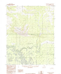
1985 · Shungnak A-2
USGS Topo · 1:63,360
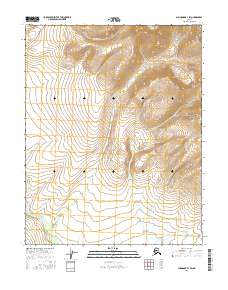
2016 · Shungnak B-1 SW
USGS Topo · 1:25,000
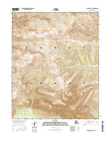
2016 · Shungnak A-2 NW
USGS Topo · 1:25,000
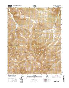
2016 · Shungnak B-2 SW
USGS Topo · 1:25,000