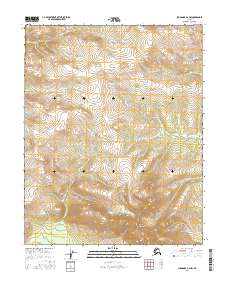
2016 Map of Shungnak A-2 NW
USGS Topo · Published 2016About this map
The Purcell Mountains dominate this remote northern interior landscape, situated within a vast expanse of the Yukon-Koyukuk region. This 2016 survey documents a rugged, unpopulated terrain defined primarily by its topographic elevations and the public land survey system grid, including townships t10n r9e, t10n r10e, t9n r9e, and t9n r10e. The absence of named roads, settlements, or infrastructure suggests an area primarily used for subsistence or mineral exploration. The map provides a high-resolution view of the drainage patterns and ridgelines of the southern Purcell Mountains, serving as a foundational record of this wilderness area for geologists and backcountry researchers.
Find a feature on this map
7 named features on this map. Tap any name to fly to it.
Don’t see what you’re looking for? This feature index may not catch every label — zoom into the map to look around manually.
Map Details
Editions of this 2016 Shungnak A-2 NW Map
This is the sole edition of this map. No revisions or reprints were ever made.
Other maps of this area

1951 · Shungnak
USGS Topo · 1:250,000

1955 · Shungnak
USGS Topo · 1:250,000

1964 · Shungnak
USGS Topo · 1:250,000
1985 · Shungnak A-3
USGS Topo · 1:63,360
1985 · Shungnak B-3
USGS Topo · 1:63,360
1985 · Shungnak B-2
USGS Topo · 1:63,360
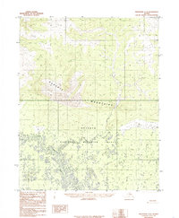
1985 · Shungnak A-2
USGS Topo · 1:63,360
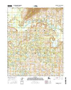
2016 · Shungnak A-3 SE
USGS Topo · 1:25,000
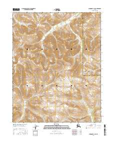
2016 · Shungnak B-3 SE
USGS Topo · 1:25,000
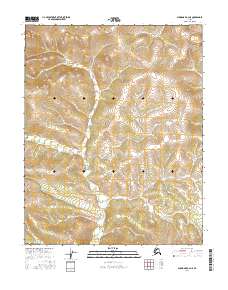
2016 · Shungnak A-2 NE
USGS Topo · 1:25,000