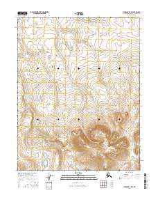
2016 Map of Shungnak B-5 SE
USGS Topo · Published 2016About this map
The Continental Divide bisects the southern portion of this high-latitude terrain, marking the fundamental hydrological boundary in the Northwest Arctic. This 2016 survey illustrates a landscape primarily defined by topographical contours and township divisions, including t11n r3e and t10n r4e. The area is characterized by drainage patterns flowing away from the central highlands, where the lack of named roads or structures emphasizes the primitive state of this interior region. Researchers and land managers can trace the precise path of the divide as it weaves through the varied elevations of the t10n r4e and t10n r3e blocks.
Find a feature on this map
5 named features on this map. Tap any name to fly to it.
Don’t see what you’re looking for? This feature index may not catch every label — zoom into the map to look around manually.
Map Details
Editions of this 2016 Shungnak B-5 SE Map
This is the sole edition of this map. No revisions or reprints were ever made.
Other maps of this area

1951 · Shungnak
USGS Topo · 1:250,000

1955 · Shungnak
USGS Topo · 1:250,000

1964 · Shungnak
USGS Topo · 1:250,000

1985 · Shungnak B-4
USGS Topo · 1:63,360
1985 · Shungnak A-5
USGS Topo · 1:63,360
1985 · Shungnak A-4
USGS Topo · 1:63,360
1985 · Shungnak B-5
USGS Topo · 1:63,360
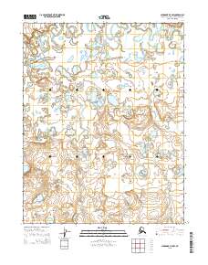
2015 · Shungnak B-5 NW
USGS Topo · 1:25,000
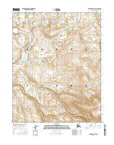
2016 · Shungnak B-5 SW
USGS Topo · 1:25,000
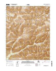
2016 · Shungnak A-5 NE
USGS Topo · 1:25,000