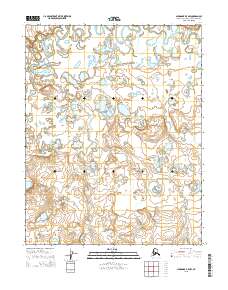
2015 Map of Shungnak B-5 NW
USGS Topo · Published 2015About this map
Selawik River meanders across the northern reaches of this Arctic landscape, creating a complex network of oxbows and riverine wetlands. The terrain is defined by the shifting course of the river and its tributary, Keruluk Cr, which flows northward through the central portion of the quadrangle. This 2015 survey, produced by the United States Geological Survey, documents the hydrography of this remote region within the Northwest Arctic Borough. The map illustrates the natural drainage patterns of the tundra, where small lakes and depressions dominate the spaces between the watercourses. While no permanent settlements are marked on this specific sheet, the intricate waterways suggest a landscape shaped by seasonal water movement and the slow evolution of the Arctic river system.
Find a feature on this map
8 named features on this map. Tap any name to fly to it.
Don’t see what you’re looking for? This feature index may not catch every label — zoom into the map to look around manually.
Map Details
Editions of this 2015 Shungnak B-5 NW Map
This is the sole edition of this map. No revisions or reprints were ever made.
Other maps of this area

1951 · Shungnak
USGS Topo · 1:250,000

1955 · Shungnak
USGS Topo · 1:250,000

1964 · Shungnak
USGS Topo · 1:250,000
1985 · Shungnak B-6
USGS Topo · 1:63,360
1985 · Shungnak C-6
USGS Topo · 1:63,360
1985 · Shungnak B-5
USGS Topo · 1:63,360
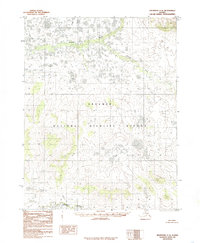
1985 · Shungnak C-5
USGS Topo · 1:63,360
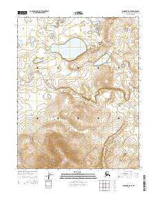
2015 · Shungnak B-6 SE
USGS Topo · 1:25,000
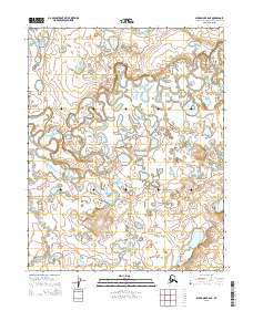
2015 · Shungnak B-6 NE
USGS Topo · 1:25,000
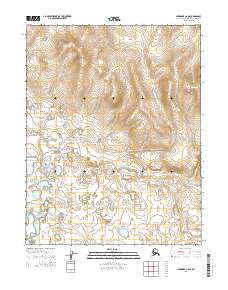
2015 · Shungnak C-6 SE
USGS Topo · 1:25,000