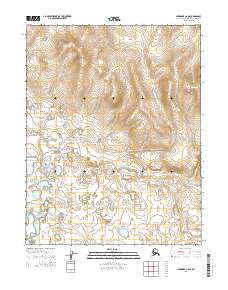
2015 Map of Shungnak C-6 SE
USGS Topo · Published 2015About this map
Kawichiark River dominates this Arctic landscape, winding through a complex system of low-lying wetlands and oxbow lakes in the Shungnak C-6 SE quadrangle. The map details the vast hydrological network of the Northwest Arctic, where the river's meandering path creates a distinct pattern of seasonal drainage and alluvial deposits. Surveyed in the early 21st century, the terrain is defined by the Public Land Survey System grids of t14n r1e, t14n r2e, t13n r1e, and t13n r2e, which provide the primary geographical framework for this unpopulated wilderness area. This documentation by the U.S. Geological Survey captures the natural state of the river valley before modern shifts in permafrost or drainage might alter the course of these sensitive northern waterways.
Find a feature on this map
5 named features on this map. Tap any name to fly to it.
Don’t see what you’re looking for? This feature index may not catch every label — zoom into the map to look around manually.
Map Details
Editions of this 2015 Shungnak C-6 SE Map
This is the sole edition of this map. No revisions or reprints were ever made.
Other maps of this area

1951 · Shungnak
USGS Topo · 1:250,000

1955 · Shungnak
USGS Topo · 1:250,000

1964 · Shungnak
USGS Topo · 1:250,000
1985 · Shungnak B-6
USGS Topo · 1:63,360
1985 · Shungnak C-6
USGS Topo · 1:63,360
1985 · Shungnak B-5
USGS Topo · 1:63,360
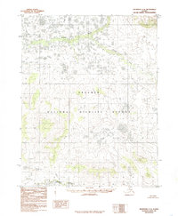
1985 · Shungnak C-5
USGS Topo · 1:63,360
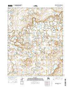
2015 · Shungnak B-6 NE
USGS Topo · 1:25,000
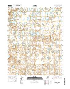
2015 · Shungnak B-5 NW
USGS Topo · 1:25,000
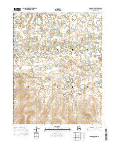
2015 · Shungnak C-5 NW
USGS Topo · 1:25,000