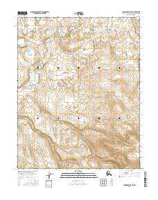
2016 Map of Shungnak B-5 SW
USGS Topo · Published 2016About this map
Keruluk Cr winds through this Northwest Arctic landscape, serving as a primary drainage for the area's intricate system of wetlands and small kettle lakes. This survey highlights the complex hydrography of the Alaskan interior, where the creek meanders across the boundary lines of t11n r2e and t11n r3e, as well as t10n r2e and t10n r3e. The topography is defined by the subtle variations in elevation that dictate the flow of seasonal meltwater across these surveyed townships. Researchers can trace the natural contours of the land through this modern digital elevation record, which captures the hydrologic patterns of the region's vast, uninhabited terrain with ten-foot contour precision.
Find a feature on this map
5 named features on this map. Tap any name to fly to it.
Don’t see what you’re looking for? This feature index may not catch every label — zoom into the map to look around manually.
Map Details
Editions of this 2016 Shungnak B-5 SW Map
This is the sole edition of this map. No revisions or reprints were ever made.
Other maps of this area

1951 · Shungnak
USGS Topo · 1:250,000

1955 · Shungnak
USGS Topo · 1:250,000

1964 · Shungnak
USGS Topo · 1:250,000
1985 · Shungnak B-6
USGS Topo · 1:63,360
1985 · Shungnak A-5
USGS Topo · 1:63,360
1985 · Shungnak A-6
USGS Topo · 1:63,360
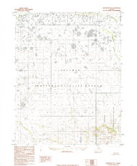
1985 · Shungnak B-5
USGS Topo · 1:63,360
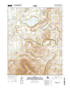
2015 · Shungnak B-6 SE
USGS Topo · 1:25,000
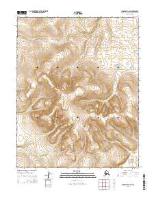
2015 · Shungnak A-6 NE
USGS Topo · 1:25,000
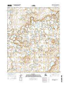
2015 · Shungnak B-6 NE
USGS Topo · 1:25,000