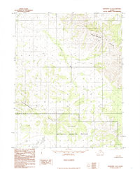
1985 Map of Shungnak C-2
USGS Topo · Published 1985About this map
Selawik National Wildlife Refuge occupies the southern portion of this interior landscape, preserving a vast expanse of wetlands and tundra as it appeared in the mid-1980s. The region is defined by a series of prominent elevation changes, with the Lockwood Hills rising in the northeast and the Sheklukshuk Range cutting across the central-west. The Pick River winds south through the center of the sheet, providing a primary drainage route for the high country. This provisional survey captures a territory where the natural environment remains the primary feature, dominated by the Headwater region to the southeast. The lack of roads or established settlements on this 1985 document highlights the wilderness character of the Alaska interior during this era.
Find a feature on this map
5 named features on this map. Tap any name to fly to it.
Don’t see what you’re looking for? This feature index may not catch every label — zoom into the map to look around manually.
Map Details
Editions of this 1985 Shungnak C-2 Map
This is the sole edition of this map. No revisions or reprints were ever made.
Other maps of this area

1951 · Shungnak
USGS Topo · 1:250,000

1955 · Shungnak
USGS Topo · 1:250,000

1955 · Shungnak D-2
USGS Topo · 1:63,360

1955 · Shungnak D-3
USGS Topo · 1:63,360

1964 · Shungnak
USGS Topo · 1:250,000
1985 · Shungnak D-1
USGS Topo · 1:63,360
1985 · Shungnak B-3
USGS Topo · 1:63,360
1985 · Shungnak B-1
USGS Topo · 1:63,360
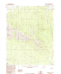
1985 · Shungnak C-1
USGS Topo · 1:63,360
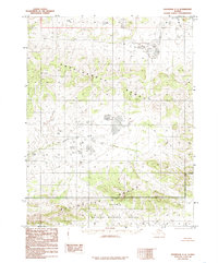
1985 · Shungnak C-3
USGS Topo · 1:63,360