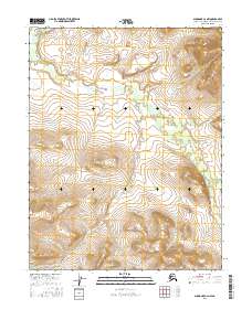
2016 Map of Shungnak C-2 NW
USGS Topo · Published 2016About this map
Pick River meanders across this northern interior landscape, carving a complex path through the Northwest Arctic. This 2016 survey documents a section of the river valley defined by its intricate hydrological network and the Public Land Survey System grids of t16n r9e, t15n r9e, and t14n r9e. The terrain represents the characteristic wilderness of the region before significant modern development, where the winding waterway serves as the primary geographical focal point for navigation and historical land tracking. Genealogists and historians can use the established township and range lines to pinpoint specific land tracts in this remote part of the Alaska-Northwest Arctic Borough.
Find a feature on this map
7 named features on this map. Tap any name to fly to it.
Don’t see what you’re looking for? This feature index may not catch every label — zoom into the map to look around manually.
Map Details
Editions of this 2016 Shungnak C-2 NW Map
This is the sole edition of this map. No revisions or reprints were ever made.
Other maps of this area

1951 · Shungnak
USGS Topo · 1:250,000

1955 · Shungnak
USGS Topo · 1:250,000

1955 · Shungnak D-2
USGS Topo · 1:63,360

1955 · Shungnak D-3
USGS Topo · 1:63,360

1964 · Shungnak
USGS Topo · 1:250,000
1985 · Shungnak C-3
USGS Topo · 1:63,360
1985 · Shungnak C-2
USGS Topo · 1:63,360
2016 · Shungnak C-3 SE
USGS Topo · 1:25,000
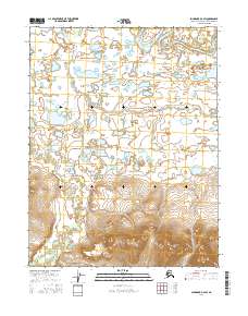
2016 · Shungnak D-2 SW
USGS Topo · 1:25,000
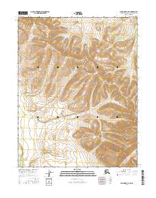
2016 · Shungnak C-2 NE
USGS Topo · 1:25,000