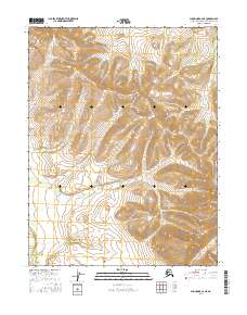
2016 Map of Shungnak C-2 NE
USGS Topo · Published 2016About this map
Lockwood Hills dominate the central terrain of this wilderness area within the Northwest Arctic Borough. The landscape is defined by the high, undulating ridges of the hills, which descend into the river systems that bracket the quadrangle. To the northeast, the Kuikcherk River cuts through the high ground, while the southwest corner is marked by the winding course of the Pick River. This 2016 survey illustrates the pristine hydrologic and topographic patterns of the Alaskan interior before any significant modern infrastructure development, showing only the natural boundaries of the Public Land Survey System such as t16n r10e and t15n r11e. The map serves as a precise record of the drainage basins and elevations that dictate the seasonal flow of these remote arctic waterways.
Find a feature on this map
9 named features on this map. Tap any name to fly to it.
Don’t see what you’re looking for? This feature index may not catch every label — zoom into the map to look around manually.
Map Details
Editions of this 2016 Shungnak C-2 NE Map
This is the sole edition of this map. No revisions or reprints were ever made.
Other maps of this area

1951 · Shungnak
USGS Topo · 1:250,000

1955 · Shungnak
USGS Topo · 1:250,000

1955 · Shungnak D-2
USGS Topo · 1:63,360

1964 · Shungnak
USGS Topo · 1:250,000
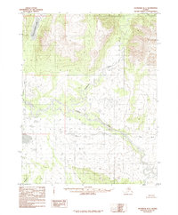
1985 · Shungnak D-1
USGS Topo · 1:63,360
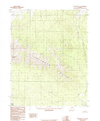
1985 · Shungnak C-1
USGS Topo · 1:63,360
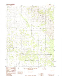
1985 · Shungnak C-2
USGS Topo · 1:63,360
2016 · Shungnak C-1 NW
USGS Topo · 1:25,000
2016 · Shungnak D-2 SW
USGS Topo · 1:25,000
2016 · Shungnak D-2 SE
USGS Topo · 1:25,000