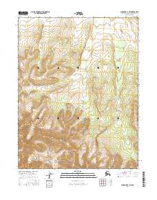
2016 Map of Shungnak C-1 NW
USGS Topo · Published 2016About this map
Angutikada Peak rises as the prominent high point in the southwestern portion of this topographic survey, which covers a remote interior region within the Northwest Arctic Borough. The landscape is dominated by the Lockwood Hills, a series of high ridges and deep valleys that characterize the southern half of the sheet. The map is primarily an examination of physical geography, defined by complex contour lines and elevation changes rather than human development. The Public Land Survey System grid lines for T16N R11E through T14N R12E overlay the terrain, providing a framework for the vast, unsettled tracts of the Alaskan wilderness. Outside of the major peaks and ridges, the sheet is sparse, suggesting a landscape untouched by permanent settlements or transportation infrastructure during the mid-2010s.
Find a feature on this map
8 named features on this map. Tap any name to fly to it.
Don’t see what you’re looking for? This feature index may not catch every label — zoom into the map to look around manually.
Map Details
Editions of this 2016 Shungnak C-1 NW Map
This is the sole edition of this map. No revisions or reprints were ever made.
Other maps of this area

1951 · Shungnak
USGS Topo · 1:250,000

1955 · Shungnak
USGS Topo · 1:250,000

1955 · Shungnak D-2
USGS Topo · 1:63,360

1964 · Shungnak
USGS Topo · 1:250,000
1985 · Shungnak D-1
USGS Topo · 1:63,360
1985 · Shungnak C-1
USGS Topo · 1:63,360
1985 · Shungnak C-2
USGS Topo · 1:63,360
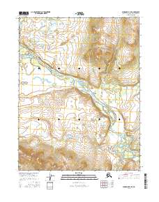
2016 · Shungnak D-1 SE
USGS Topo · 1:25,000
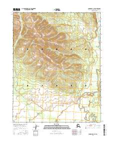
2016 · Shungnak C-1 SE
USGS Topo · 1:25,000
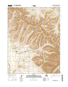
2016 · Shungnak C-2 NE
USGS Topo · 1:25,000