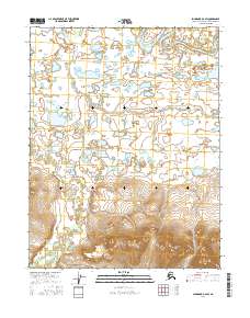
2016 Map of Shungnak D-2 SW
USGS Topo · Published 2016About this map
Lockwood Hills rise prominently in the southern reaches of this landscape, overlooking a dense network of Arctic waterways. This 2016 survey documents a transitional environment where the higher elevations of the hills descend into an intricate system of wetlands and meandering river channels. The Kobuk River flows through the northern terrain, joined by the winding courses of the Kuikcherk River and the Pick River. The drainage patterns and topographic contours shown here reflect the remote character of the Northwest Arctic, illustrating how these seasonal watercourses interact with the underlying landforms across the T16N and T17N townships. Researchers can observe the natural hydrology of the region before it reaches larger coastal basins, as well as the significant elevation changes within the Lockwood range.
Find a feature on this map
8 named features on this map. Tap any name to fly to it.
Don’t see what you’re looking for? This feature index may not catch every label — zoom into the map to look around manually.
Map Details
Editions of this 2016 Shungnak D-2 SW Map
This is the sole edition of this map. No revisions or reprints were ever made.
Other maps of this area

1951 · Shungnak
USGS Topo · 1:250,000

1955 · Shungnak
USGS Topo · 1:250,000

1955 · Shungnak D-2
USGS Topo · 1:63,360

1955 · Shungnak D-3
USGS Topo · 1:63,360

1964 · Shungnak
USGS Topo · 1:250,000
1985 · Shungnak C-3
USGS Topo · 1:63,360
1985 · Shungnak C-2
USGS Topo · 1:63,360
2016 · Shungnak D-3 NE
USGS Topo · 1:25,000
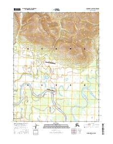
2016 · Shungnak D-2 NW
USGS Topo · 1:25,000
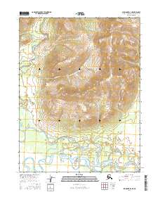
2016 · Shungnak D-2 NE
USGS Topo · 1:25,000