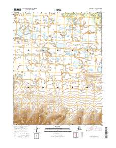
2016 Map of Shungnak D-2 SE
USGS Topo · Published 2016About this map
Kuikeherk River winds through this northern landscape, forming a complex drainage network that defines the central and southern portions of the territory. In the far northwest corner, the Kobuk River makes a brief appearance, anchoring the hydrography of the Northwest Arctic. This 2016 survey illustrates the transition from the lake-dotted lowlands of the north to the increasingly significant elevation changes in the south. The terrain here is marked by extensive wetlands and isolated water bodies, reflecting the seasonal shifts in the Alaskan interior. While devoid of named settlements or man-made structures, the map meticulously records the township and range boundaries, including t17n r10e, t17n r11e, t16n r10e, and t16n r11e, which serve as the primary markers for navigation and land management in this remote region.
Find a feature on this map
6 named features on this map. Tap any name to fly to it.
Don’t see what you’re looking for? This feature index may not catch every label — zoom into the map to look around manually.
Map Details
Editions of this 2016 Shungnak D-2 SE Map
This is the sole edition of this map. No revisions or reprints were ever made.
Other maps of this area

1951 · Shungnak
USGS Topo · 1:250,000

1955 · Shungnak
USGS Topo · 1:250,000

1955 · Shungnak D-2
USGS Topo · 1:63,360

1964 · Shungnak
USGS Topo · 1:250,000
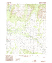
1985 · Shungnak D-1
USGS Topo · 1:63,360
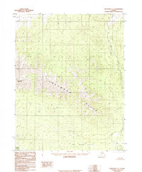
1985 · Shungnak C-1
USGS Topo · 1:63,360
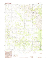
1985 · Shungnak C-2
USGS Topo · 1:63,360
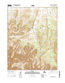
2016 · Shungnak C-1 NW
USGS Topo · 1:25,000
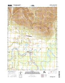
2016 · Shungnak D-2 NW
USGS Topo · 1:25,000
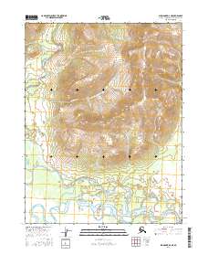
2016 · Shungnak D-2 NE
USGS Topo · 1:25,000