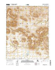
2016 Map of Shungnak C-2 SW
USGS Topo · Published 2016About this map
Highland elevations of the Sheklukshuk Range dominate the northern landscape of this interior Alaskan territory. The terrain transitions south toward the Kiliovilik Range, where steep contours descend into a network of wetlands and small lakes in the lower quadrants. Surveyed by the U.S. Geological Survey using data from 2009 through 2016, the map documents a remote wilderness defined by the Northwest Arctic Borough boundaries and the Public Land Survey System. The lack of roads or established settlements emphasizes the undisturbed nature of these ranges, providing a precise topographic record of these landforms before further environmental shifts.
Find a feature on this map
6 named features on this map. Tap any name to fly to it.
Don’t see what you’re looking for? This feature index may not catch every label — zoom into the map to look around manually.
Map Details
Editions of this 2016 Shungnak C-2 SW Map
This is the sole edition of this map. No revisions or reprints were ever made.
Other maps of this area

1951 · Shungnak
USGS Topo · 1:250,000

1955 · Shungnak
USGS Topo · 1:250,000

1964 · Shungnak
USGS Topo · 1:250,000
1985 · Shungnak B-3
USGS Topo · 1:63,360
1985 · Shungnak C-3
USGS Topo · 1:63,360
1985 · Shungnak B-2
USGS Topo · 1:63,360
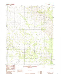
1985 · Shungnak C-2
USGS Topo · 1:63,360
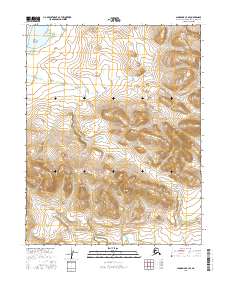
2016 · Shungnak C-3 SE
USGS Topo · 1:25,000
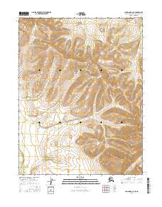
2016 · Shungnak C-2 NE
USGS Topo · 1:25,000
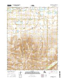
2016 · Shungnak B-3 NE
USGS Topo · 1:25,000