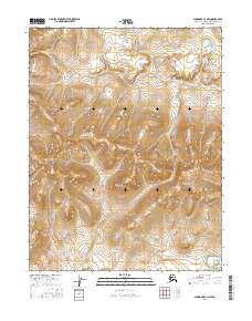
2016 Map of Shungnak C-3 NW
USGS Topo · Published 2016About this map
The Sheklukshuk Range dominates this portion of the Northwest Arctic, where the terrain transitions through a series of significant elevation changes within the t15n r7e and t15n r6e survey areas. This 2016 survey, produced by the U.S. Geological Survey, details a landscape primarily defined by its topographic complexity rather than human infrastructure or settlements. The lack of roads or established townships reflects the wilderness character of this region during the early twenty-first century. Researchers can trace the drainage patterns and ridge lines that define the local geography, providing a precise record of the landforms before any modern development or significant environmental shifts altered the region's profile. The map serves as a primary reference for the Public Land Survey System boundaries across these remote townships.
Find a feature on this map
7 named features on this map. Tap any name to fly to it.
Don’t see what you’re looking for? This feature index may not catch every label — zoom into the map to look around manually.
Map Details
Editions of this 2016 Shungnak C-3 NW Map
This is the sole edition of this map. No revisions or reprints were ever made.
Other maps of this area

1951 · Shungnak
USGS Topo · 1:250,000

1955 · Shungnak
USGS Topo · 1:250,000

1955 · Shungnak D-4
USGS Topo · 1:63,360

1955 · Shungnak D-3
USGS Topo · 1:63,360

1964 · Shungnak
USGS Topo · 1:250,000
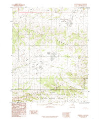
1985 · Shungnak C-3
USGS Topo · 1:63,360
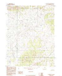
1985 · Shungnak C-4
USGS Topo · 1:63,360
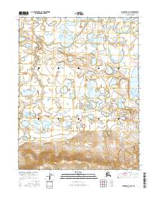
2016 · Shungnak D-3 SW
USGS Topo · 1:25,000
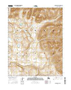
2016 · Shungnak C-4 NE
USGS Topo · 1:25,000
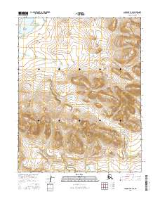
2016 · Shungnak C-3 SE
USGS Topo · 1:25,000