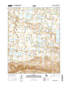
2016 Map of Shungnak D-3 SW
USGS Topo · Published 2016About this map
The Sheklukshuk Range rises across the southern reaches of this Northwest Arctic landscape, providing a topographical anchor for a region defined by complex hydrography. The Kobuk River and Black River navigate a low-lying basin marked by numerous unnamed ponds and wetlands, typical of the interior Alaskan wilderness. Further east, the waters of Tekeaksakrak Lake sit near the boundary of t17n r7e, illustrating the remote and unpopulated character of the Shungnak area. This 2016 survey, based on imagery from the Spot satellite and data from the Alaska Dept. of Transportation, captures the intersection of mountainous terrain and Arctic river systems where human infrastructure is virtually absent, replaced by the natural contours of the northern interior.
Find a feature on this map
8 named features on this map. Tap any name to fly to it.
Don’t see what you’re looking for? This feature index may not catch every label — zoom into the map to look around manually.
Map Details
Editions of this 2016 Shungnak D-3 SW Map
This is the sole edition of this map. No revisions or reprints were ever made.
Other maps of this area

1951 · Shungnak
USGS Topo · 1:250,000

1955 · Shungnak
USGS Topo · 1:250,000

1955 · Shungnak D-4
USGS Topo · 1:63,360

1955 · Shungnak D-3
USGS Topo · 1:63,360

1964 · Shungnak
USGS Topo · 1:250,000
1985 · Shungnak C-3
USGS Topo · 1:63,360
1985 · Shungnak C-4
USGS Topo · 1:63,360
2016 · Shungnak D-3 NW
USGS Topo · 1:25,000
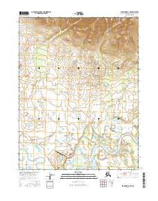
2016 · Shungnak D-3 NE
USGS Topo · 1:25,000
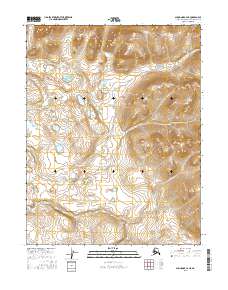
2016 · Shungnak C-4 NE
USGS Topo · 1:25,000