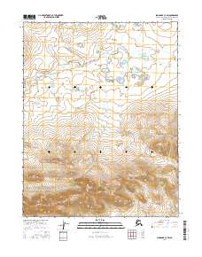
2016 Map of Shungnak C-3 SW
USGS Topo · Published 2016About this map
Kiliovilik Range dominates the southern landscape of this Northwest Arctic quadrangle, showing a dramatic transition from the high peaks of the range down into a vast network of wetlands and small ponds to the north. These drainage patterns are primarily fed by the Kiliovilik Cr, which meanders through the northern sections of the survey. Mapping by the U.S. Geological Survey reveals a land defined by its hydrological complexity, where numerous unnamed lakes and marshes break the terrain between the mountain slopes and the creek bed. This 2016 data reflects the remote character of the region, emphasizing the natural topography and water systems within the townships of t14n r6e, t14n r7e, t13n r6e, and t13n r7e without the presence of permanent human settlements or infrastructure.
Find a feature on this map
6 named features on this map. Tap any name to fly to it.
Don’t see what you’re looking for? This feature index may not catch every label — zoom into the map to look around manually.
Map Details
Editions of this 2016 Shungnak C-3 SW Map
This is the sole edition of this map. No revisions or reprints were ever made.
Other maps of this area

1951 · Shungnak
USGS Topo · 1:250,000

1955 · Shungnak
USGS Topo · 1:250,000

1964 · Shungnak
USGS Topo · 1:250,000

1985 · Shungnak B-4
USGS Topo · 1:63,360
1985 · Shungnak B-3
USGS Topo · 1:63,360
1985 · Shungnak C-3
USGS Topo · 1:63,360
1985 · Shungnak C-4
USGS Topo · 1:63,360
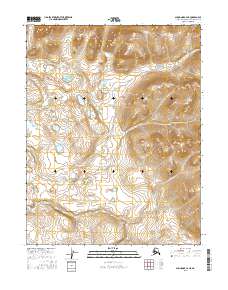
2016 · Shungnak C-4 NE
USGS Topo · 1:25,000
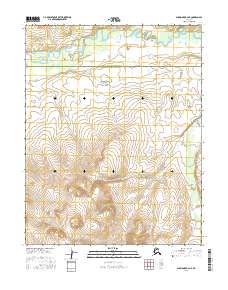
2016 · Shungnak B-4 NE
USGS Topo · 1:25,000
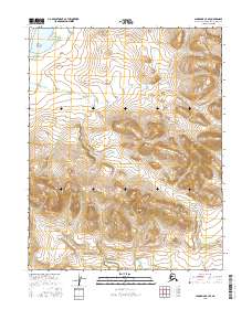
2016 · Shungnak C-3 SE
USGS Topo · 1:25,000