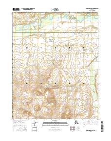
2016 Map of Shungnak B-4 NE
USGS Topo · Published 2016About this map
The Selawik River meanders across the northern reaches of this remote landscape, where the administrative boundary of the Northwest Arctic Borough and Yukon-Koyukuk Census Area divides the territory. This 2016 survey documents a transition in the Alaskan interior where the flat, braided wetlands of the river valley meet the rising slopes of the southern terrain. Tributaries like Shintlikrok Cr flow out of the hills to the south, cutting through the high ground before joining the larger drainage system. The absence of roads or established settlements emphasizes the wilderness character of this region, which remains primarily defined by its natural watercourses and the seasonal patterns of the subarctic environment.
Find a feature on this map
3 named features on this map. Tap any name to fly to it.
Don’t see what you’re looking for? This feature index may not catch every label — zoom into the map to look around manually.
Map Details
Editions of this 2016 Shungnak B-4 NE Map
This is the sole edition of this map. No revisions or reprints were ever made.
Other maps of this area

1951 · Shungnak
USGS Topo · 1:250,000

1955 · Shungnak
USGS Topo · 1:250,000

1964 · Shungnak
USGS Topo · 1:250,000

1985 · Shungnak B-4
USGS Topo · 1:63,360
1985 · Shungnak B-3
USGS Topo · 1:63,360
1985 · Shungnak C-3
USGS Topo · 1:63,360
1985 · Shungnak C-4
USGS Topo · 1:63,360
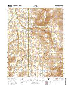
2016 · Shungnak B-4 SW
USGS Topo · 1:25,000
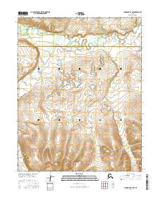
2016 · Shungnak B-3 NW
USGS Topo · 1:25,000
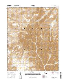
2016 · Shungnak B-4 SE
USGS Topo · 1:25,000