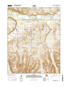
2016 Map of Shungnak B-3 NW
USGS Topo · Published 2016About this map
The Selawik River meanders across the northern reaches of this Arctic interior landscape, flowing through a complex drainage basin defined by seasonal wetlands and shifting waterways. In the central and southern portions of the sheet, the terrain rises into upland elevations, where the Shinilikrok Cr cuts through the topography. This 2016 survey documents the jurisdictional boundary between the Northwest Arctic Borough and the Yukon-Koyukuk Census Area, a line that bisects a remote wilderness largely untouched by permanent road infrastructure. The map provides a critical record of the hydrography in the Shungnak region, illustrating the intricate relationship between the low-lying river valley and the surrounding high ground.
Find a feature on this map
11 named features on this map. Tap any name to fly to it.
Don’t see what you’re looking for? This feature index may not catch every label — zoom into the map to look around manually.
Map Details
Editions of this 2016 Shungnak B-3 NW Map
This is the sole edition of this map. No revisions or reprints were ever made.
Other maps of this area

1951 · Shungnak
USGS Topo · 1:250,000

1955 · Shungnak
USGS Topo · 1:250,000

1964 · Shungnak
USGS Topo · 1:250,000

1985 · Shungnak B-4
USGS Topo · 1:63,360
1985 · Shungnak B-3
USGS Topo · 1:63,360
1985 · Shungnak C-3
USGS Topo · 1:63,360
1985 · Shungnak C-4
USGS Topo · 1:63,360
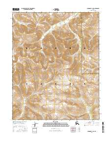
2016 · Shungnak B-3 SE
USGS Topo · 1:25,000
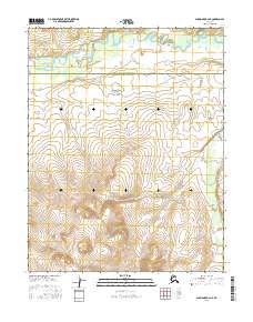
2016 · Shungnak B-4 NE
USGS Topo · 1:25,000
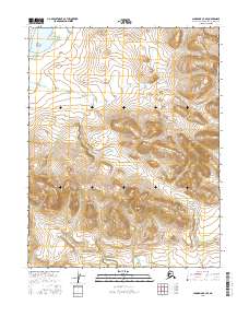
2016 · Shungnak C-3 SE
USGS Topo · 1:25,000