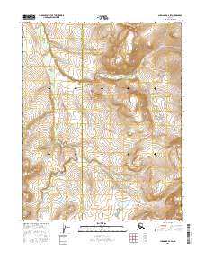
2016 Map of Shungnak B-4 SW
USGS Topo · Published 2016About this map
The Northwest Arctic Borough Yukon-Koyukuk Census Area boundary bisects this remote landscape, marking a jurisdictional divide in a region defined by its waterway networks. Drainage is dominated by Ingruksukruk Cr, which meanders through the western half of the map, and Shovel Cr in the northeast. This topography is characterized by intricate elevation contours that reveal a series of drainages and upland ridges, typical of the interior Alaskan wilderness before significant modern infrastructure development. The map serves as a primary record of the hydrography and public land survey system divisions, including t11n r4e and t11n r5e, providing a spatial framework for a landscape that remains largely unsettled.
Find a feature on this map
7 named features on this map. Tap any name to fly to it.
Don’t see what you’re looking for? This feature index may not catch every label — zoom into the map to look around manually.
Map Details
Editions of this 2016 Shungnak B-4 SW Map
This is the sole edition of this map. No revisions or reprints were ever made.
Other maps of this area

1951 · Shungnak
USGS Topo · 1:250,000

1955 · Shungnak
USGS Topo · 1:250,000

1964 · Shungnak
USGS Topo · 1:250,000

1985 · Shungnak B-4
USGS Topo · 1:63,360
1985 · Shungnak A-5
USGS Topo · 1:63,360
1985 · Shungnak A-4
USGS Topo · 1:63,360
1985 · Shungnak B-5
USGS Topo · 1:63,360
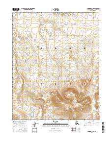
2016 · Shungnak B-5 SE
USGS Topo · 1:25,000
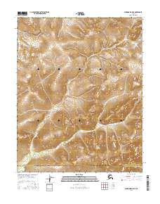
2016 · Shungnak A-5 NE
USGS Topo · 1:25,000
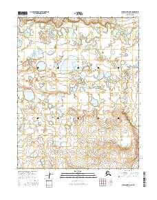
2016 · Shungnak B-5 NE
USGS Topo · 1:25,000