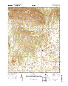
2015 Map of Shungnak D-5 NW
USGS Topo · Published 2015About this map
Waring Mountains dominate the northern landscape of this arctic region, providing a high-elevation backdrop to the winding Kugarak River. The southern portion of Kobuk Valley National Park extends into the northeastern corner of the map, protecting a wilderness area where high ridges descend toward a vast network of wetlands and small thaw lakes. The terrain is characterized by dramatic topographic transitions, as the steep contours of the mountains give way to the lower, water-saturated plains of the Kugarak River valley. This map highlights the intersection of protected national parkland and the open wilderness, showing the intricate drainage patterns essential to the local ecosystem during this era of 2015 mapping.
Find a feature on this map
9 named features on this map. Tap any name to fly to it.
Don’t see what you’re looking for? This feature index may not catch every label — zoom into the map to look around manually.
Map Details
Editions of this 2015 Shungnak D-5 NW Map
This is the sole edition of this map. No revisions or reprints were ever made.
Other maps of this area

1951 · Shungnak
USGS Topo · 1:250,000

1951 · Ambler River
USGS Topo · 1:250,000

1955 · Shungnak
USGS Topo · 1:250,000

1955 · Ambler River A-6
USGS Topo · 1:63,360

1955 · Shungnak D-6
USGS Topo · 1:63,360

1955 · Shungnak D-5
USGS Topo · 1:63,360

1955 · Ambler River A-5
USGS Topo · 1:63,360

1956 · Ambler River
USGS Topo · 1:250,000

1964 · Shungnak
USGS Topo · 1:250,000

1964 · Ambler River
USGS Topo · 1:250,000