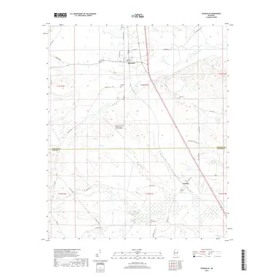
2018 Map of Shuqualak
USGS Topo · Published 2018About this map
Shuqualak and the surrounding borderlands of Noxubee and Kemper counties characterize this prairie and creek-bottom landscape. The map highlights a significant military presence at the Columbus Air Force Base Auxiliary Field (Gunshy), which occupies a large portion of the central terrain. This area is defined by its rural cemetery network, including Twin Cemeteries, Slaughter Cem, and Bell Cem, which offer critical points of interest for genealogical research in these small Mississippi communities.
Find a feature on this map
48 named features on this map. Tap any name to fly to it.
Don’t see what you’re looking for? This feature index may not catch every label — zoom into the map to look around manually.
Map Details
Editions of this 2018 Shuqualak Map
This is the sole edition of this map. No revisions or reprints were ever made.
Other maps of this area

1953 · Meridian
USGS Topo · 1:250,000

1953 · West Point
USGS Topo · 1:250,000

1957 · Meridian
USGS Topo · 1:250,000

1958 · West Point
USGS Topo · 1:250,000

1962 · Shuqualak
USGS Topo · 1:24,000

1963 · West Point
USGS Topo · 1:250,000

1963 · De Kalb
USGS Topo · 1:24,000

1963 · Townsend
USGS Topo · 1:24,000

1963 · Gholson
USGS Topo · 1:24,000

1965 · Meridian
USGS Topo · 1:250,000