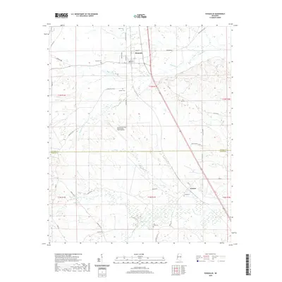
2020 Map of Shuqualak
USGS Topo · Published 2020About this map
Shuqualak anchors the northern portion of this Noxubee County landscape, where a grid of streets including Jackson St and Oak St meet the rail corridor. Further south, the map captures the community of Wahalak just across the border in Kemper County. The terrain is defined by a series of waterways, most notably Shuqualak Cr and Wahalak Cr, which drain the low-lying areas between gentle ridges.
Find a feature on this map
46 named features on this map. Tap any name to fly to it.
Don’t see what you’re looking for? This feature index may not catch every label — zoom into the map to look around manually.
Map Details
Editions of this 2020 Shuqualak Map
This is the sole edition of this map. No revisions or reprints were ever made.
Other maps of this area

1953 · Meridian
USGS Topo · 1:250,000

1953 · West Point
USGS Topo · 1:250,000

1957 · Meridian
USGS Topo · 1:250,000

1958 · West Point
USGS Topo · 1:250,000

1962 · Shuqualak
USGS Topo · 1:24,000

1963 · West Point
USGS Topo · 1:250,000

1963 · De Kalb
USGS Topo · 1:24,000

1963 · Townsend
USGS Topo · 1:24,000

1963 · Gholson
USGS Topo · 1:24,000

1965 · Meridian
USGS Topo · 1:250,000