2024 Map of Shuqualak
USGS Topo · Published 2024About this map
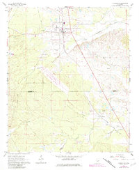
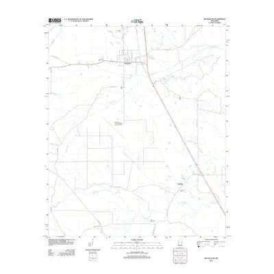
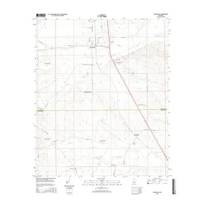
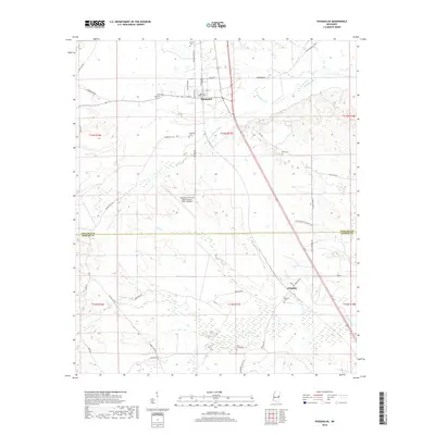
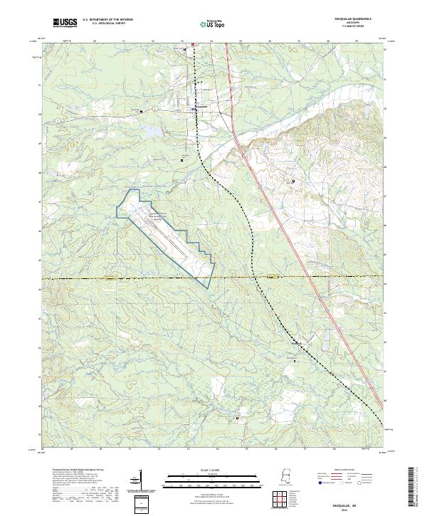
Shuqualak anchors the northern portion of this Noxubee County landscape, where the street grid of the town center transitions into a network of rural roads and timbered terrain. The settlement of Wahalak lies further south, situated near the headwaters of Wahalak Creek and the Wahalak Cem. A prominent feature of the central landscape is the Columbus Auxiliary Airfield, also identified as the Columbus Air Force Base Auxiliary Field (Gunshy), which occupies a significant clearing amidst the surrounding hills.
Find a feature on this map
48 named features on this map. Tap any name to fly to it.
Don’t see what you’re looking for? This feature index may not catch every label — zoom into the map to look around manually.
Map Details
Editions of this 2024 Shuqualak Map
This is the sole edition of this map. No revisions or reprints were ever made.
Historical Maps of Shuqualak Through Time
6 maps found