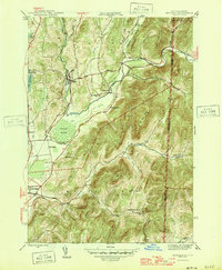
1946 Map of Shushan
USGS Topo · Published 1946About this map
Batten Kill and the Delaware and Hudson railroad corridor anchor this mid-century view of the borderlands between New York and Vermont. The settlement of Shushan stands as a focal point in the valley, surrounded by a landscape of named ridges and hollows that reflect generations of local land use, from Camden Valley to the heights of Snake Ridge. The rural infrastructure of the era is remarkably well-preserved in this 1946 edition, showing a dense network of district schools including School No 9 and School No 11, along with family-associated locations like Binninger Cem and Camden Cem.
Find a feature on this map
48 named features on this map. Tap any name to fly to it.
Don’t see what you’re looking for? This feature index may not catch every label — zoom into the map to look around manually.
Map Details
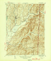
Editions of this 1946 Shushan Map
2 editions found
Other maps of this area

1894 · Equinox
USGS Topo · 1:62,500

1895 · Cambridge
USGS Topo · 1:62,500

1896 · Equinox
USGS Topo · 1:62,500

1897 · Hoosick
USGS Topo · 1:62,500

1898 · Cambridge
USGS Topo · 1:62,500

1898 · Bennington
USGS Topo · 1:62,500

1900 · Taconic
USGS Topo · 1:125,000

1900 · Equinox
USGS Topo · 1:62,500

1901 · Cambridge
USGS Topo · 1:62,500

1903 · Mettawee
USGS Topo · 1:125,000