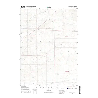
2015 Map of Shute Creek Lake
USGS Topo · Published 2015About this map
The Emigrant Trl cuts across this high-plains landscape, marking a deep historical path through Lincoln County. This 2015 survey highlights the arid drainage patterns of the region, where water features like Slate Cr and Jackson Cr define the subtle topography. In the southern portion of the sheet, the eponymous Shute Creek Lake and the meandering Shute Cr provide a focal point for the surrounding public and private lands. The map shows the grid of the Public Land Survey System, including sections within t23n r113w and t23n r112w. Infrastructure is sparse, primarily represented by the local Cr-340 road, illustrating the modern character of this open Wyoming territory while preserving the memory of the overland migration route.
Find a feature on this map
11 named features on this map. Tap any name to fly to it.
Don’t see what you’re looking for? This feature index may not catch every label — zoom into the map to look around manually.
Map Details
Editions of this 2015 Shute Creek Lake Map
This is the sole edition of this map. No revisions or reprints were ever made.
Other maps of this area

1945 · Fort Hill
USGS Topo · 1:62,500

1947 · Fort Hill
USGS Topo · 1:62,500

1954 · Ogden
USGS Topo · 1:250,000

1955 · Preston
USGS Topo · 1:250,000

1958 · Ogden
USGS Topo · 1:250,000

1958 · Preston
USGS Topo · 1:250,000

1960 · Ogden
USGS Topo · 1:250,000

1962 · Preston
USGS Topo · 1:250,000

1968 · Fontenelle Reservoir SE
USGS Topo · 1:24,000

1968 · Fontenelle Reservoir SW
USGS Topo · 1:24,000