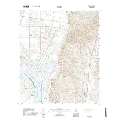
2018 Map of Sibley
USGS Topo · Published 2018About this map
Ellis Cliffs and the rugged bluffs overlooking the Mississippi River define the western geography of this Adams County landscape. The area is characterized by a complex network of waterways, including Old Saint Catherine Creek and Willow Lake, which wind through the low-lying terrain near Saint Catherine Bend. Further inland, the settlement of Sibley serves as a local hub, surrounded by family-named landmarks and historical burial grounds such as Forest Cem and Mount Olive Cem.
Find a feature on this map
60 named features on this map. Tap any name to fly to it.
Don’t see what you’re looking for? This feature index may not catch every label — zoom into the map to look around manually.
Map Details
Editions of this 2018 Sibley Map
This is the sole edition of this map. No revisions or reprints were ever made.
Other maps of this area

1909 · Sycamore Landing
USGS Topo · 1:24,000

1909 · Vidalia
USGS Topo · 1:24,000

1921 · Natchez
USGS Topo · 1:48,000

1922 · Natchez
USGS Topo · 1:62,500

1939 · Red Gum
USGS Topo · 1:62,500

1939 · Natchez
USGS Topo · 1:62,500

1939 · Kingston
USGS Topo · 1:62,500

1939 · Deer Park
USGS Topo · 1:62,500

1953 · Natchez
USGS Topo · 1:250,000

1956 · Natchez
USGS Topo · 1:250,000