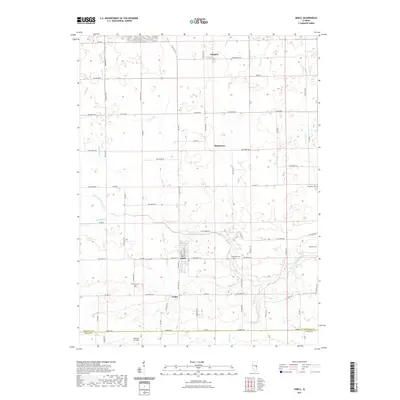
2021 Map of Sidell
USGS Topo · Published 2021About this map
The Little Vermilion River carves a winding path across this agricultural section of east-central Illinois, defining the rural landscape between the primary settlements of Sidell and Jamaica. The river and its numerous tributaries, including Baum Br and Swank Cr, suggest a terrain shaped by consistent drainage through prairie farmland. Small hubs like Maizetown and Archie punctuate the grid of section-line roads, illustrating the persistent pattern of grain-country habitation.
Find a feature on this map
47 named features on this map. Tap any name to fly to it.
Don’t see what you’re looking for? This feature index may not catch every label — zoom into the map to look around manually.
Map Details
Editions of this 2021 Sidell Map
This is the sole edition of this map. No revisions or reprints were ever made.
Other maps of this area

1899 · Danville
USGS Topo · 1:62,500

1900 · Danville
USGS Topo · 1:62,500

1931 · Fithian
USGS Topo · 1:48,000

1943 · Fithian
USGS Topo · 1:62,500

1947 · Ridge Farm
USGS Topo · 1:62,500

1949 · Danville SW
USGS Topo · 1:24,000

1950 · Danville SW
USGS Topo · 1:24,000

1953 · Danville
USGS Topo · 1:250,000

1953 · Indianapolis
USGS Topo · 1:250,000

1955 · Danville
USGS Topo · 1:250,000