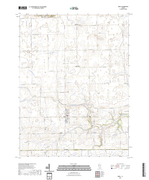
2024 Map of Sidell
USGS Topo · Published 2024About this map
Sidell and its surrounding agricultural landscape are documented in this contemporary survey, revealing a network of rural settlements and family cemeteries. The Little Vermilion River carves through the southern portion of the quadrangle, joined by tributaries such as Archie Creek and Goodall Branch. The map captures the distinct grid of county roads that connect smaller locales like Maizetown and Archie, while the Hildreth Air Park sits near the southern boundary. Local historians will find several burial sites including Fairview Cemetery and Stunkard Cemetery, which remain as fixed landmarks amidst the shifting farm fields. The northern reach of the survey includes the community of Jamaica and the winding course of Jordan Creek.
Find a feature on this map
83 named features on this map. Tap any name to fly to it.
Don’t see what you’re looking for? This feature index may not catch every label — zoom into the map to look around manually.
Map Details
Editions of this 2024 Sidell Map
This is the sole edition of this map. No revisions or reprints were ever made.
Other maps of this area

1899 · Danville
USGS Topo · 1:62,500

1900 · Danville
USGS Topo · 1:62,500

1931 · Fithian
USGS Topo · 1:48,000

1943 · Fithian
USGS Topo · 1:62,500

1947 · Ridge Farm
USGS Topo · 1:62,500

1949 · Danville SW
USGS Topo · 1:24,000

1950 · Danville SW
USGS Topo · 1:24,000

1953 · Danville
USGS Topo · 1:250,000

1953 · Indianapolis
USGS Topo · 1:250,000

1955 · Danville
USGS Topo · 1:250,000