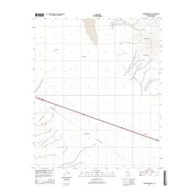
2015 Map of Sidewinder Well
USGS Topo · Published 2015About this map
Sidewinder Well serves as a lone landmark in this desert reach of Riverside County, situated where the arid basin meets the southern slopes of the Palen Mountains. The map illustrates a landscape defined by seasonal watercourses and primitive access routes, with the sandy expanse of Palen Dunes Dr and the broad Corn Springs Wash carving through the valley floor. The placement of Chuckwalla Valley Rd and the proximity of Corn Springs Rd highlight the area's role as a transit corridor across the Colorado Desert. This 2015 survey provides precise detail on the section lines and township boundaries, such as t5s r17e, which are essential for property research and land management in this sparsely settled region. The presence of Ship Cr in the southeast quadrant further emphasizes the drainage patterns typical of the Chuckwalla Valley environment.
Find a feature on this map
11 named features on this map. Tap any name to fly to it.
Don’t see what you’re looking for? This feature index may not catch every label — zoom into the map to look around manually.
Map Details
Editions of this 2015 Sidewinder Well Map
This is the sole edition of this map. No revisions or reprints were ever made.
Other maps of this area

1943 · Coxcomb Mountains
USGS Topo · 1:62,500

1944 · Chuckwalla Mountains
USGS Topo · 1:62,500

1944 · Coxcomb Mountains
USGS Topo · 1:62,500

1952 · Sidewinder Well
USGS Topo · 1:62,500

1952 · Palen Mountains
USGS Topo · 1:62,500

1954 · Salton Sea
USGS Topo · 1:250,000

1955 · Salton Sea
USGS Topo · 1:250,000

1959 · Salton Sea
USGS Topo · 1:250,000

1963 · Salton Sea
USGS Topo · 1:250,000

1963 · Chuckwalla Mountains
USGS Topo · 1:62,500