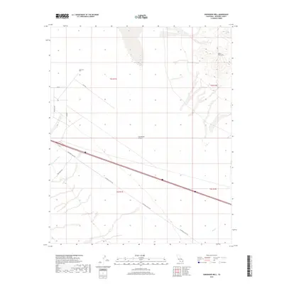
2018 Map of Sidewinder Well
USGS Topo · Published 2018About this map
Sidewinder Well stands as a focal point in this arid stretch of the Colorado Desert, situated north of the expansive Chuckwalla Valley. The landscape is defined by its drainage patterns and the stark rise of the Palen Mountains to the northeast. Transportation routes provide the primary structure for the area, with Chuckwalla Valley Rd slicing diagonally across the terrain, accompanied by smaller desert tracks like Corn Springs Rd and Rice Rd. The ephemeral nature of water in this environment is clearly marked by the winding courses of Corn Springs Wash and Ship Cr, which traverse the alluvial plains. This survey documents the intersection of modern transit and land management boundaries, including t5s r17e and t6s r18e, within a geography where accessible water sources historically dictated survival and travel.
Find a feature on this map
14 named features on this map. Tap any name to fly to it.
Don’t see what you’re looking for? This feature index may not catch every label — zoom into the map to look around manually.
Map Details
Editions of this 2018 Sidewinder Well Map
This is the sole edition of this map. No revisions or reprints were ever made.
Other maps of this area

1943 · Coxcomb Mountains
USGS Topo · 1:62,500

1944 · Chuckwalla Mountains
USGS Topo · 1:62,500

1944 · Coxcomb Mountains
USGS Topo · 1:62,500

1952 · Sidewinder Well
USGS Topo · 1:62,500

1952 · Palen Mountains
USGS Topo · 1:62,500

1954 · Salton Sea
USGS Topo · 1:250,000

1955 · Salton Sea
USGS Topo · 1:250,000

1959 · Salton Sea
USGS Topo · 1:250,000

1963 · Salton Sea
USGS Topo · 1:250,000

1963 · Chuckwalla Mountains
USGS Topo · 1:62,500