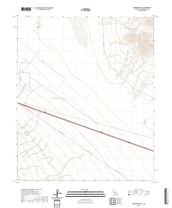
2021 Map of Sidewinder Well
USGS Topo · Published 2021About this map
Chuckwalla Valley dominates this desert landscape in eastern Riverside County, characterized by its wide basins and the rising topography of the Palen Mountains to the northeast. This 2021 survey illustrates a modern desert transit corridor, where Chuckwalla Valley Rd and Rice Rd converge near the intersection of Callie Ave. The map provides a precise view of the local infrastructure and desert access points like Corn Springs Rd and Spillman Blvd during the early 21st century. The sparse road network and lack of dense settlement reflect the arid character of the Colorado Desert, focusing on the essential arteries that connect this remote valley to the broader region.
Find a feature on this map
11 named features on this map. Tap any name to fly to it.
Don’t see what you’re looking for? This feature index may not catch every label — zoom into the map to look around manually.
Map Details
Editions of this 2021 Sidewinder Well Map
This is the sole edition of this map. No revisions or reprints were ever made.
Other maps of this area

1943 · Coxcomb Mountains
USGS Topo · 1:62,500

1944 · Chuckwalla Mountains
USGS Topo · 1:62,500

1944 · Coxcomb Mountains
USGS Topo · 1:62,500

1952 · Sidewinder Well
USGS Topo · 1:62,500

1952 · Palen Mountains
USGS Topo · 1:62,500

1954 · Salton Sea
USGS Topo · 1:250,000

1955 · Salton Sea
USGS Topo · 1:250,000

1959 · Salton Sea
USGS Topo · 1:250,000

1963 · Salton Sea
USGS Topo · 1:250,000

1963 · Chuckwalla Mountains
USGS Topo · 1:62,500