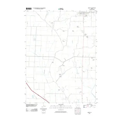
2010 Map of Sidney
USGS Topo · Published 2010About this map
Sidney serves as the focal point of this southwestern Iowa landscape, where the town's grid sits near the Sidney Post Office and Sidney Cemetery. The surrounding agricultural terrain is deeply marked by a legacy of family and community burials, from Grandview Cemetery in the north to Slusher Cemetery and Austin Cemetery further south. This distribution of small burial grounds, such as Rector Cemetery and Means Cemetery, suggests the early settlement patterns of Fremont County's rural townships.
Find a feature on this map
60 named features on this map. Tap any name to fly to it.
Don’t see what you’re looking for? This feature index may not catch every label — zoom into the map to look around manually.
Map Details
Editions of this 2010 Sidney Map
This is the sole edition of this map. No revisions or reprints were ever made.
Other maps of this area

1907 · Nebraska City
USGS Topo · 1:62,500

1935 · Nehawka
USGS Topo · 1:48,000

1939 · Hamburg
USGS Topo · 1:62,500

1940 · Nehawka
USGS Topo · 1:62,500

1941 · Hamburg
USGS Topo · 1:62,500

1955 · Nebraska City
USGS Topo · 1:250,000

1957 · Nebraska City
USGS Topo · 1:250,000

1957 · Randolph
USGS Topo · 1:24,000

1957 · Tabor SW
USGS Topo · 1:24,000

1958 · Nebraska City
USGS Topo · 1:250,000