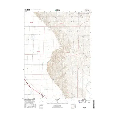
2015 Map of Sidney
USGS Topo · Published 2015About this map
Sidney serves as the focal point of this southwestern Iowa landscape, where the town’s street grid, including Webster St and Cass St, meets the agricultural and hydrologic engineering of the Missouri River floodplain. The western portion of the map is dominated by an extensive drainage system, featuring Main Ditch Number 6 and various laterals like Lateral Number 10, illustrating the concerted effort to reclaim and manage bottomlands for farming.
Find a feature on this map
57 named features on this map. Tap any name to fly to it.
Don’t see what you’re looking for? This feature index may not catch every label — zoom into the map to look around manually.
Map Details
Editions of this 2015 Sidney Map
This is the sole edition of this map. No revisions or reprints were ever made.
Other maps of this area

1907 · Nebraska City
USGS Topo · 1:62,500

1935 · Nehawka
USGS Topo · 1:48,000

1939 · Hamburg
USGS Topo · 1:62,500

1940 · Nehawka
USGS Topo · 1:62,500

1941 · Hamburg
USGS Topo · 1:62,500

1955 · Nebraska City
USGS Topo · 1:250,000

1957 · Nebraska City
USGS Topo · 1:250,000

1957 · Randolph
USGS Topo · 1:24,000

1957 · Tabor SW
USGS Topo · 1:24,000

1958 · Nebraska City
USGS Topo · 1:250,000