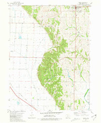
1981 Map of Sidney
USGS Topo · Published 1981About this map
The hills of Waubonsie State Park dominate the central landscape of this Fremont County survey, rising sharply above the fertile Missouri River bottomlands. This area is characterized by a complex network of drainage ditches, such as Main Ditch and Lateral No 7, designed to manage the low-lying plains west of the bluffs. Near the park, Camp Wa Shawtee and various Campgrounds are tucked into the wooded ravines of Militia Hollow.
Find a feature on this map
33 named features on this map. Tap any name to fly to it.
Don’t see what you’re looking for? This feature index may not catch every label — zoom into the map to look around manually.
Map Details
Editions of this 1981 Sidney Map
This is the sole edition of this map. No revisions or reprints were ever made.
Other maps of this area

1907 · Nebraska City
USGS Topo · 1:62,500

1935 · Nehawka
USGS Topo · 1:48,000

1939 · Hamburg
USGS Topo · 1:62,500

1940 · Nehawka
USGS Topo · 1:62,500

1941 · Hamburg
USGS Topo · 1:62,500

1955 · Nebraska City
USGS Topo · 1:250,000

1957 · Nebraska City
USGS Topo · 1:250,000

1957 · Randolph
USGS Topo · 1:24,000

1957 · Tabor SW
USGS Topo · 1:24,000

1958 · Nebraska City
USGS Topo · 1:250,000