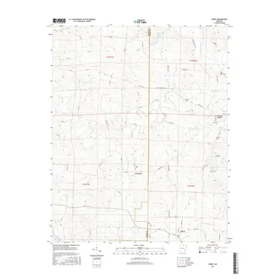
2017 Map of Sidney
USGS Topo · Published 2017About this map
Evening Shade and Sidney anchor this section of northern Arkansas, where the landscape is defined by the winding course of the Strawberry River and its numerous tributaries. The map details a rural network of roads and waterways, including the appropriately named The Backbone ridge in the northeast. For those interested in local genealogy and settlement patterns, several burial grounds such as Schales Cem, Williams Cem, and Yeager Cem are clearly marked near established communities. The area's educational and social history is subtly preserved in place names like Jacks Schoolhouse Rd and Homms Schoolhouse Br. This modern survey documents the persistent small-town character of Sharp County, tracking how these communities continue to navigate the undulating terrain and creek valleys like Bear Cr and Finley Cr.
Find a feature on this map
68 named features on this map. Tap any name to fly to it.
Don’t see what you’re looking for? This feature index may not catch every label — zoom into the map to look around manually.
Map Details
Editions of this 2017 Sidney Map
This is the sole edition of this map. No revisions or reprints were ever made.
Other maps of this area

1890 · Batesville
USGS Topo · 1:125,000

1891 · Batesville
USGS Topo · 1:125,000

1942 · Mt Pleasant
USGS Topo · 1:31,680

1943 · Sandtown
USGS Topo · 1:24,000

1943 · Cave City
USGS Topo · 1:31,680

1951 · Melbourne
USGS Topo · 1:62,500

1953 · Memphis
USGS Topo · 1:250,000

1956 · Memphis
USGS Topo · 1:250,000

1957 · Poplar Bluff
USGS Topo · 1:250,000

1959 · Poplar Bluff
USGS Topo · 1:250,000