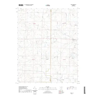
2020 Map of Sidney
USGS Topo · Published 2020About this map
Evening Shade and Sidney anchor this 2020 landscape where the Sharp County and Izard County line divides a series of creek valleys and ridges. The Strawberry River flows through the northeastern corner, joined by a dense network of watercourses including Bear Cr, Bird Cr, and Tom Moore Br. These natural features dictated the early settlement patterns and road placements that persist today. Small rural communities like Needmore and Gravel Hill are situated among family-named burial sites such as Yeager Cem and Williams Cem, providing essential data points for genealogists. The topography is notably defined by The Backbone, a ridge in the east, while the southern portion of the quadrangle is marked by Hamms Schoolhouse Br, indicating the historic locations of local educational landmarks in this rural corner of the Ozark foothills.
Find a feature on this map
76 named features on this map. Tap any name to fly to it.
Don’t see what you’re looking for? This feature index may not catch every label — zoom into the map to look around manually.
Map Details
Editions of this 2020 Sidney Map
This is the sole edition of this map. No revisions or reprints were ever made.
Other maps of this area

1890 · Batesville
USGS Topo · 1:125,000

1891 · Batesville
USGS Topo · 1:125,000

1942 · Mt Pleasant
USGS Topo · 1:31,680

1943 · Sandtown
USGS Topo · 1:24,000

1943 · Cave City
USGS Topo · 1:31,680

1951 · Melbourne
USGS Topo · 1:62,500

1953 · Memphis
USGS Topo · 1:250,000

1956 · Memphis
USGS Topo · 1:250,000

1957 · Poplar Bluff
USGS Topo · 1:250,000

1959 · Poplar Bluff
USGS Topo · 1:250,000