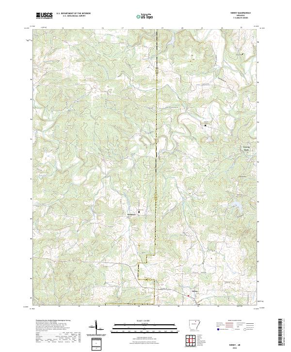
2024 Map of Sidney
USGS Topo · Published 2024About this map
Evening Shade and Sidney anchor this landscape along the border of Izard and Sharp counties, where the terrain is defined by the winding course of the Strawberry River and the prominent ridge known as The Backbone. The area maintains a rural character shaped by a network of creeks and branches, including Bear-Creek and Finley Creek. Historically, the map indicates the locations of early local education and community life through labels like Hamms Schoolhouse Branch and Jacks Schoolhouse Rd.
Find a feature on this map
75 named features on this map. Tap any name to fly to it.
Don’t see what you’re looking for? This feature index may not catch every label — zoom into the map to look around manually.
Map Details
Editions of this 2024 Sidney Map
This is the sole edition of this map. No revisions or reprints were ever made.
Other maps of this area

1890 · Batesville
USGS Topo · 1:125,000

1891 · Batesville
USGS Topo · 1:125,000

1942 · Mt Pleasant
USGS Topo · 1:31,680

1943 · Sandtown
USGS Topo · 1:24,000

1943 · Cave City
USGS Topo · 1:31,680

1951 · Melbourne
USGS Topo · 1:62,500

1953 · Memphis
USGS Topo · 1:250,000

1956 · Memphis
USGS Topo · 1:250,000

1957 · Poplar Bluff
USGS Topo · 1:250,000

1959 · Poplar Bluff
USGS Topo · 1:250,000