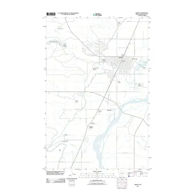
2011 Map of Sidney
USGS Topo · Published 2011About this map
The Yellowstone River flows through this corner of eastern Montana, shaping the development of Sidney and its surrounding communities. This 2011 map documents the city as it serves as a regional hub, featuring the Richland County Fairgrounds and the Sidney-Richland Municipal Airport. The landscape is a mix of agricultural utility and municipal infrastructure, evidenced by the managed waters of Vaux Reservoir No 1 and Factory Lake near the riverbanks.
Find a feature on this map
50 named features on this map. Tap any name to fly to it.
Don’t see what you’re looking for? This feature index may not catch every label — zoom into the map to look around manually.
Map Details
Editions of this 2011 Sidney Map
This is the sole edition of this map. No revisions or reprints were ever made.
Other maps of this area

1909 · Glendive
USGS Topo · 1:250,000

1954 · Glendive
USGS Topo · 1:250,000

1957 · Glendive
USGS Topo · 1:250,000

1958 · Glendive
USGS Topo · 1:250,000

1966 · Crane NE
USGS Topo · 1:24,000

1966 · Piche
USGS Topo · 1:24,000

1966 · Crane
USGS Topo · 1:24,000

1966 · Sidney NE
USGS Topo · 1:24,000

1966 · Sidney
USGS Topo · 1:24,000

1972 · Brorson
USGS Topo · 1:24,000