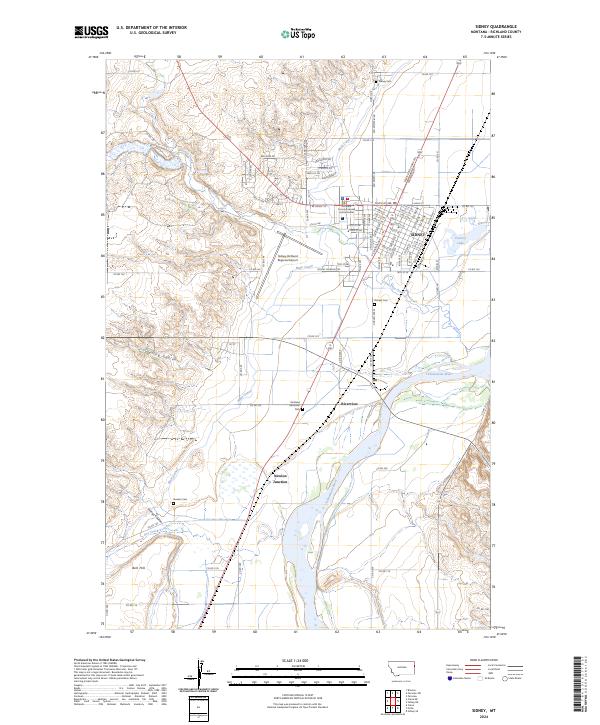
2024 Map of Sidney
USGS Topo · Published 2024About this map
Sidney and its surrounding Richland County landscape are defined by the winding course of the Yellowstone River and an extensive irrigation network anchored by the Main Canal. The town's grid expands eastward toward Factory Lake, while the local topography is marked by significant landmarks like Bell Hill to the southwest and several coulees, including Spring Coulee and Youngs Coulee. This modern survey illustrates the intersection of regional transport and agriculture, with the Lewis and Clark Trl Frontage Rd and Truck Rt 488 serving the hub of Sidney.
Find a feature on this map
62 named features on this map. Tap any name to fly to it.
Don’t see what you’re looking for? This feature index may not catch every label — zoom into the map to look around manually.
Map Details
Editions of this 2024 Sidney Map
This is the sole edition of this map. No revisions or reprints were ever made.
Other maps of this area

1909 · Glendive
USGS Topo · 1:250,000

1954 · Glendive
USGS Topo · 1:250,000

1957 · Glendive
USGS Topo · 1:250,000

1958 · Glendive
USGS Topo · 1:250,000

1966 · Crane NE
USGS Topo · 1:24,000

1966 · Piche
USGS Topo · 1:24,000

1966 · Crane
USGS Topo · 1:24,000

1966 · Sidney NE
USGS Topo · 1:24,000

1966 · Sidney
USGS Topo · 1:24,000

1972 · Brorson
USGS Topo · 1:24,000