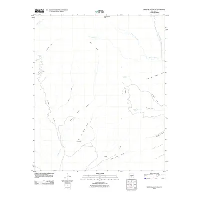
2010 Map of Sierra Blanca Peak
USGS Topo · Published 2010About this map
Sierra Blanca Peak dominates the high-altitude topography of this Otero County region, where the headwaters of the Rio Ruidoso system begin their descent. The landscape is defined by a dense network of water sources and steep drainage systems, including the South Fork Rio Ruidoso, Middle Fork Rio Ruidoso, and North Fork Rio Ruidoso. Sparse human markers in this environment are centered around The Rinconada and a series of high-mountain water points such as Cienegita Springs, Miserable Springs, and Sulphur Spring.
Find a feature on this map
23 named features on this map. Tap any name to fly to it.
Don’t see what you’re looking for? This feature index may not catch every label — zoom into the map to look around manually.
Map Details
Editions of this 2010 Sierra Blanca Peak Map
This is the sole edition of this map. No revisions or reprints were ever made.
Other maps of this area

1950 · Sierra Blanca Peak
USGS Topo · 1:62,500

1950 · Mescalero
USGS Topo · 1:62,500

1955 · Roswell
USGS Topo · 1:250,000

1958 · Roswell
USGS Topo · 1:250,000

1962 · Roswell
USGS Topo · 1:250,000

1963 · Ruidoso
USGS Topo · 1:24,000

1963 · Angus
USGS Topo · 1:24,000

1963 · Apache Summit
USGS Topo · 1:24,000
1981 · Golondrina Draw
USGS Topo · 1:24,000
1981 · Cat Mountain
USGS Topo · 1:24,000