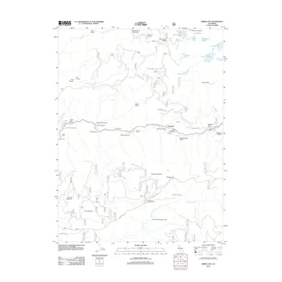
2012 Map of Sierra City
USGS Topo · Published 2012About this map
Sierra City and the neighboring settlement of Loganville occupy a narrow valley corridor between the N Yuba River and the towering Sierra Buttes. This modern topographic study reveals a landscape shaped by historical extraction and seasonal habitation, where routes like Monarch Mine Rd and Columbo Mine Rd indicate the area's deep mining heritage. Further west, family-named sites such as Fournier Ranch and Romano Ranch sit near Charcoal Ravine, while high-altitude outposts like Robinson Cow Camp and Holmes Cabin reflect a history of alpine ranching. The northern reaches are defined by a high-concentration of mountain waters, including Young America Lake and Upper Sardine Lake, supporting recreation at Packer Lake Lodge. The presence of landmarks such as Gates of the Antipodes and Box Canyon Number One further south highlights the complex drainage patterns of the Middle Yuba River.
Find a feature on this map
61 named features on this map. Tap any name to fly to it.
Don’t see what you’re looking for? This feature index may not catch every label — zoom into the map to look around manually.
Map Details
Editions of this 2012 Sierra City Map
This is the sole edition of this map. No revisions or reprints were ever made.
Other maps of this area

1891 · Downieville
USGS Topo · 1:125,000

1891 · Colfax
USGS Topo · 1:125,000

1892 · Colfax
USGS Topo · 1:125,000

1893 · Downieville
USGS Topo · 1:125,000

1894 · Colfax
USGS Topo · 1:125,000

1895 · Downieville
USGS Topo · 1:125,000

1896 · Downieville
USGS Topo · 1:125,000

1897 · Downieville
USGS Topo · 1:125,000

1898 · Colfax
USGS Topo · 1:125,000

1900 · Colfax
USGS Topo · 1:125,000